he site originated long before Angkor. Inscriptions from the fifth and sixth century mention the sanctuary, and it’s believed it was originally connected with the first Khmer state of Chenla, then with the Champa kingdom from the 7th century on (source: Wat Phu museum). The complex we see today was built in the Angkorian period early in the 11th century, with additions constructed in the 12th and 13th century.
The location and orientation of the temple is far from arbitrary. The natural landscape held enormous spiritual significance and its position at Phou Kao mountain, with its peak naturally in the shape of the linga (phallic symbol representing Shiva) and a permanent spring at its foot, were likely reasons the sanctuary was built there.

As noted by UNESCO: Wat Phu “was shaped to express the Hindu vision of the relationship between nature and humanity, using an axis from mountain top to river bank to lay out a geometric pattern of temples, shrines and waterworks extending over some 10 km.” In other words, the existing natural landscape, the Hindu religion, Khmer architecture and ingenious engineering all came together in this one spot, demonstrating the worldview of a mighty empire.
The wat, which runs along a east-west axis, starts from a plain with two large barays, artificial lakes that hold both religious symbolism (the ocean) and practical purpose (reservoir). The reflection of the mountains onto the water is lovely. A shuttle, included in the price of the ticket, can save visitors from the lengthy walk past the barays to the start of the long causeway lined with sandstone posts that sweep up to a terrace with two symmetrical buildings.
Each of these is a quadrangle built of sandstone and laterite, formed with four galleries around a central courtyard. A longstanding unsubstantiated theory has them as a “men’s palace” and a “women’s palace”. Instead, current research points to them being used for ceremonies. Behind the south building is the small shrine dedicated to Nandi, the bull that served as Shiva’s mount. It was from here that an ancient imperial road extends over 200
Further up is the precarious climb on narrow stone steps, the occasional frangipani tree offering some much needed shade. At the top visitors are rewarded with a stellar view of the Mekong plain below and the main sanctuary itself, originally devoted to the Hindu god Shiva, subsequently transformed into a Buddhist shrine in the 13th-14th century.
The sanctuary once sheltered a linga, and sacred water (soma) from the spring behind it was channeled via a series of aqueducts into the building to continuously bathe it. The water was then piped further along and out to a public point where worshippers could perform ablutions.
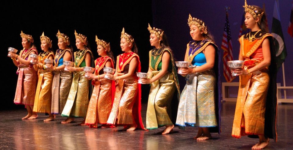
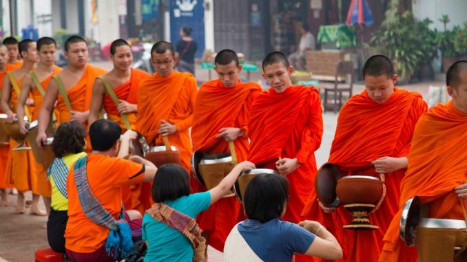
To this day locals believe the waters have special powers and people from all over Laos make pilgrimage and perform Buddhist ceremonies here. The Wat Phu festival is one of the most important in the country. Held on the 15th day of the 3rd month of the Buddhist calendar (usually falling end of January or early February), the three day festival includes processions and prayers, as well as livelier events such as sports competitions, a local fair and dance performances.
Restoration work is ongoing. Temples still bear exquisite reliefs though most of the artefacts are now housed in the museum. Taking some time to read through the museum is recommended as it explains the architecture, religion and the highly symbolic art.
Hong Nang Sida
As you'll be in the area anyway, it’s worth visiting Hong Nang Sida temple ruins which lies one kilometre south of Wat Phu along the ancient imperial road to Angkor.
The structure, believed to have been built around the mid 11th to early 12th century, has collapsed into a pile of enormous blocks and it’ll take some imagination to appreciate what once stood and the steady flow of pilgrims travelling to it. A sign has a blueprint of the original layout, including the small library south of the main temple. Hopefully some restoration or protection will be done because for now, everyone can freely walk all over it.
Compared to numbers Wat Phu receives, few people venture here. This road to Angkor was just one of a wide network that spanned across Cambodia and to Thailand and Vietnam, such was the reach of the empire. The most direct way to Hong Nang Sida is along the royal road starting at the so called “women’s” and “men’s” palace at Wat Phu, the two parallel buildings on the terrace just after the causeway. Find the way leading south (facing the complex, that is on the lefthand side). It’s a one-kilometre walk. Otherwise, from the parking lot/main road, it’s two kilometres along a sandy path with a couple of rickety bridges, a tricky route on two wheels.
Those with time and the lust for more temple ruins, about a kilometre further on is Thao Tao, known as “the hospital temple”. We were told by the information centre that the road is difficult and the temple not so easy to find. It’s best to get some orientation from the Wat Phu guides before tackling it.
Transport information
Wat Phu is located 10 kilometres southwest of Champasak. It takes 15 to 20 minutes to reach by tuk tuk. Most are happy spending two hours on site, which includes the tiring climb to the top of the hill where most of the interesting features are.
By bicycle or motorbike, the route is straightforward and the road is sealed though devoid of any shade. Head south on the Mekong river road—from the roundabout it is 5 km before the road veers right. Follow this road straight for another 5 km to reach the site entrance. This way passes through the ancient 5th century pre-Angkorian city, though the walls and monuments can barely be seen on the ground and are only revealed through aerial photos. There are plenty of shops along the way selling drinks and motorbike repair shops.
Alternatively, you can take the new highway which is one street back from the Mekong river road. It heads inland diagonally, eventually connecting to the road to Wat Phu. There are less shops and infrastructure along the new road.
It is possible to do Wat Phu as a day trip from Pakse. Vietnam Exploration Booking Tours can arrange the tour by private van and will advertise trips already booked so others can join and share costs.
Finally, it is also possible to do it as a day trip by public transport. In October 2016 there was no reliable bus using the new road between Pakse - Champasak (on the same side of the river), only a songthaew. So for now a travel agency can sell you a through-ticket from Pakse (public bus down Route 13 to Ban Muang pier, boat and transfer to Wat Phu), then the reverse, in time to catch the VIP bus coming from Si Phan Don to Pakse, stopping to pick up at Ban Muang at around 13:30-14:00.
Enthusiasm quickly fades when temperatures soar—the site is big and exposed, with little shade. Going first thing in the morning or late afternoon is recommended. The site is open daily 06:00-18:00, museum open daily 08:00-16:30. Admission is 50,000 kip. Before 08:00 or after 16:30, admission is 55,000 kip. Ticket includes museum, a pamphlet and shuttle to the foot of the site. Motorbike parking is 5,000 kip. Guided tours can be arranged at the entrance: 100,000 kip for Wat Phu and museum; 200,000 kip for Nang Sida and Thao Tao; 400,000 kip for Muang Kang pagoda and Um Tomo.
Contact details for Wat Phu
Address: 10 km from Champasak
Coordinates (for GPS): 105º49'38.06" E, 14º50'50.94" N
See position in Apple or Google Maps: Apple Maps | Google Maps

.jpg)


.jpg)


.jpg)


.jpg)
.jpg)


.jpg)